24 Aug 2011|Noida | Amity University Campus, Sector-125 Noida
‘Central Government ought to address the Coastal Regulation Zones Management Plans submitted by State Governments to prevent social unrest in coastal regions’ says Mr. Shawahiq Siddiqui, Advocate, Supreme Court of India at Amity
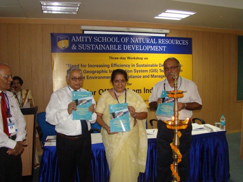
“The Coastal Regulation Zones (CRZ) 1991 Notification has been unsuccessful in solving the coastline related problems due to its repeated dilutions, procedural failures, non-compliance of CRZ arguments by State Governments. The CRZ of 2010 announces the stretches of seas, bays, estuaries, creeks, backwaters, rivers and all water bodies influenced by tidal action as CRZs and there are only four additions made to the CRZ 2010 which are hazard line, CRZ V territorial waters, traditional rights of fishing communities and demarcation in time bound manner. Therefore the solution lies in all State Governments submitting individual Coastal Regulation Zones Management (CRZM)Plans as per their respective coastal requirements and the central Government ought to address each of them to prevent social unrest”, opines Mr. Shawahiq Siddiqui, Advocate, Supreme Court, New Delhi during the inaugural of the three day (24th-26th August) Workshop on “Need for increasing efficiency in sustainable development – Role of Geographic Information System (GIS) Technology in Port Compliance and Management” conducted for the senior officials from Indian ports by Amity School of Natural Resources & Sustainable Development (ASNRSD) in collaboration with Indian Ports Association, Ministry of Shipping, Government of India, New Delhi at Amity University Campus, Sector – 125, Noida.
Presenting the theme of the Workshop Prof. B.K.P Sinha, Director, ASNRSD informed “with the increase in population, industrialization and mechanization, India is witnessing development of large number of new ports along the coasts whose activity is of greatest economic importance. Also in tandem the planning, monitoring and protection of these ports have assumed great significance in this context. The Geospatial technologies such as Remote Sensing (RS), Geographic Information System (GIS) are highly useful at present as they have great potential to address the various aspects of monitoring, managing and security of ports in the most scientifically advanced approaches.” “The objective of the seminar is to provide port management guidelines to the senior port officers by educating them about the use and application of GIS techniques added Prof. Sinha during the inauguration of the workshop.
A plethora of technical sessions and paper presentations on relevant topics pertaining to coastal infrastructural management including ‘Role of Geo- Spatial Technology for Environmental Compliances Port Management’, ‘Use of Laser Scanning and Web GIS for Port Monitoring and Management’, ‘Role of Geo-Spatial Technology in Managing Disasters’,‘Integrated Management of Coastal Zones of India by using Remote Sensing and GIS’, ‘Sea – Level Rise resulting from the impact of Climate Change and their vulnerability on Ports and Coastal Infrastructure’, ‘Role of Geo-Spatial Technology for improving Ports Efficiency in Public Information’, Tsunami Early Warning System – Role of Geo – Spatial Technology’, ‘Use of Geo – Spatial Technologies for Coastal Management’, ‘Role of Geo – Spatial Technology for Environment Compliances and Ports Management: An Indian scenario case study’ apart from various others will be deliberated upon by eminent experts of the field from all across the country during the course of the workshop.
Apprising the participants of the workshop with the application of RS and GIS in coastal zone activity Dr. Balvinder Shukla, Pro Vice Chancellor (Academics), Amity University Uttar Pradesh (AUUP) informed “Remote Sensing data and GIS techniques are very useful for mapping the coastal environment changes such as coral reef, mangrove, coastal land use and land cover, shoreline, bathymetry etc. Both GIS as well as Remote Sensing play an important role to assess the present ecological status and accordingly decide on future plans to conserve and manage coastal ecosystem.”
Sharing his views on Oil Spill Sensitivity Analysis and Risk Assessments Mr. Shalin Shah, Mundra Port & SEZ Ltd, Participant said that oil related activities such as single point mooring (SPM), installation, navigation, marine transportation and oil exploration pose major threats to the coastal ecosystem along the Indian coast. The deliberations during this workshop will provide the participants with useful guidelines to scientifically tackle these challenges that port officials practically face.
“GIS is an engineering application that is already implemented in the port of Vishakhapatnam and the present need is to analyze the requirement of the port and accordingly implement the GIS techniques for effective port management” stressed Mr. Appa Rao, Vishakhapatnam Port Trust, Vishakhapatnam, Participant during the inaugural day of the workshop.
Over fifteen senior port officers all from across the country will participate during the three days of the insightful workshop. Also present during the inauguration of the workshop were students and faculty members of ASNRSD apart from other esteemed guests.