31 Jul 2013|Noida | Amity University Campus, Sector-125 Noida
Dr. Madhuri Kumari, Department of Civil Engineering – Amity University delivers lecture on “Hydrologic modelling using RS/GIS with special references to climate change” during ASTIF lecture series

Dr. Madhuri Kumari, Acting Head, Department of Civil Engineering – Amity School of Engineering & Technology, Amity University delivered lecture on “Hydrologic modelling using RS/GIS with special references to climate change” The special lecture was organized by Amity Science, Technology and Innovation Foundation under the ASTIF lecture series at Amity University, Sector-125.
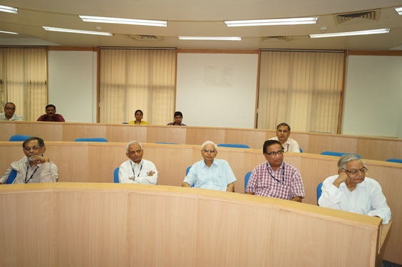
Dr. W. Selvamurthy, President – Amity Science Technology & Innovation Foundation, Prof. K.C. Upadhyaya, Advisor – Amity Institute of Biotechnology, Dr. N.P. Singh, Director – Amity Centre for Extension Services, Dr. Amit C Kharkwal, Dy Director – Amity Institute of Microbial Technology were present during the occasion.
Introducing the theme of her lecture, Dr. Madhuri Kumari said that no area in the world is unaffected from the impact of climate change. Climate change can be due to natural processes like volcano, tectonic shift in earth plates etc or it may be triggered by human activities. Human induced climate change includes increase in green house gases; land use & land cover change like change of forest cover to agriculture or change in agriculture land to urban use etc. Dr. Kumari said that it is estimated that by year 2100 there will be increase in global mean surface temperature between 1.4 - 4 degree Celsius and in India, the average surface temperature has increased by 0.4 degree Celsius during last century.
Dr. Kumari briefed the audience that various measures have been taken to look into the problem of Climate change world wide. In India, National Action Plan on Climate Change is set up which have 8 missions in climate change study. Dr. Kumari outlined that climate system is complex because there are multiple interactions between atmosphere, land, ocean and cryosphere which include continuous monitoring, synoptic coverage, 3-D measurement and long term assessment.
While speaking on benefits of using space technologies in studying the climate, Dr. Kumari said that it can be used for studying land use; water spread area, snow cover area, geological features, flood prone areas etc. For this two techniques are used – Geographic Information System (GIS) and Remote Sensing. GIS is an effective tool for handling spatial data; decision making in engineering & environment field and is powerful visualization tool. Remote Sensing provides information for land/water subjects. It is digital and easy to feed into GIS. It provides set of digital photographs captured by our satellites. The output of Remote Sensing is input for GIS.
While discussing about the future research areas in this field, Dr. Kumari said that research fields may include interfacing of water system, models with GIS; enhancing modeling process by integrating expert systems and GIS; progress of hydrological science; developing data banks.
Scientists, faculty from Amity Institute of Biotechnology, Amity Institute of Microbial Technology, Amity Institute of Nanotechnology and other Amity Institutions were present during the lecture session.